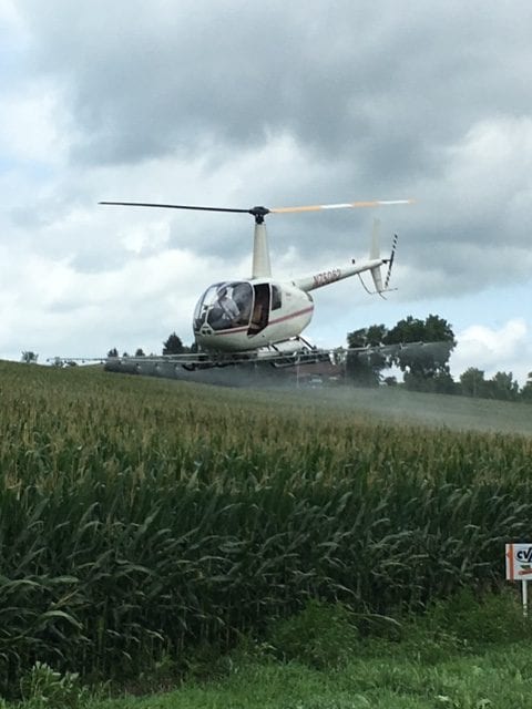
Aerial Application
Nebraska-Iowa Helicopter provides the highest quality aerial application services to our customers throughout the United States. We utilize state-of-the art application technology, including DGPS guidance systems, Flow Control devices and GIS data, all of which ensure the consistently precise, accurate and on-target applications we are known for. We specialize in the following aerial application missions:
- Broadcast applications on row crop, aquatic sites, and pasture
- Governmental contract applications
- Precision applications of restricted use herbicides on utility right-of-ways
- Specialized aquatic applications to wetlands and waterways.
- Mosquito control applications
- Crop Imaging and Damage Survey
- GIS Mapping and Aerial Imaging

